Chosen by our experts, including luxury hotels, and boutique hotels.
Machu Travel Peru wants to make the best experience in Peru; we have selected the best and luxury hotels for our packages. We have based our selection on: hotel category, superior service, good location, hotel facilities and on our loyal clients’ feedback. We want to cover all your needs during your holidays in Peru and we know that your stay has to be very pleasant and comfortable. We want to make a memorable holiday in Peru.
Machu Travel Peru’s team has personally inspected every property recommended here on detail. Whether you are the most beautiful room in a top luxury hotel or to escape to a tranquil boutique retreat, we share the best our country has to offer in the way you wish to travel, recommend and will work with you to choose ones that are right for the type of experience you’re looking for. Below we show our favorites selections.
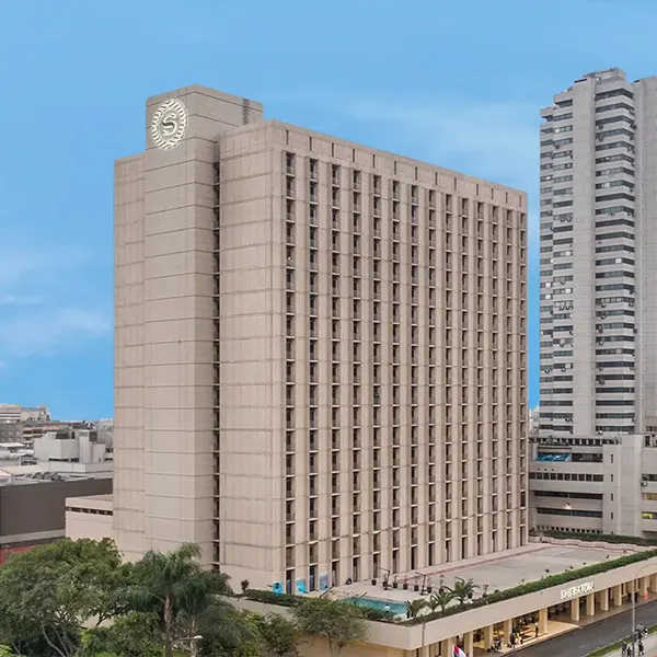
Charming colonial churches, French-style plazas, 5-forks Peruvian restaurants, and spectacular views of the Pacific Ocean will adore your stay in the Peru capital.
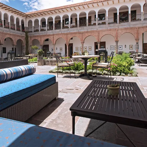
The tourist capital of Peru offers charming colonial and republic mansions in its historic center where you'll be able to spend pleasant nights among Inca history and magic.
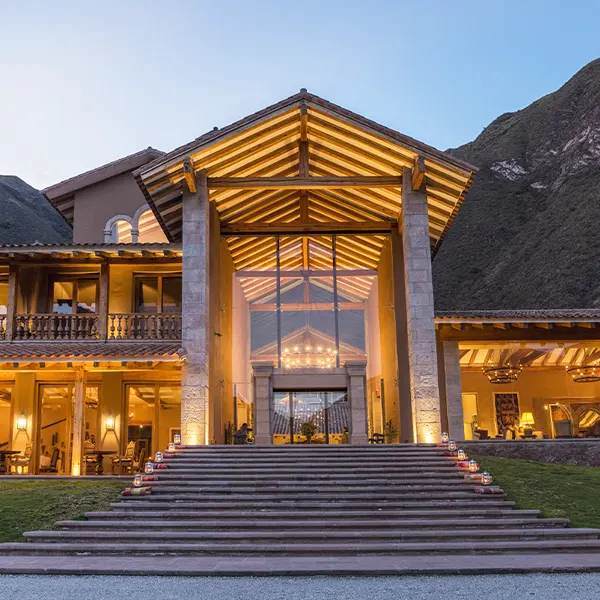
Your stay in Inca sacred lands will be accompanied by beautiful meadows of corn and Kiwicha, giant slopes, fresh breezes, charming Andean towns, and the lovely Urubamba river.
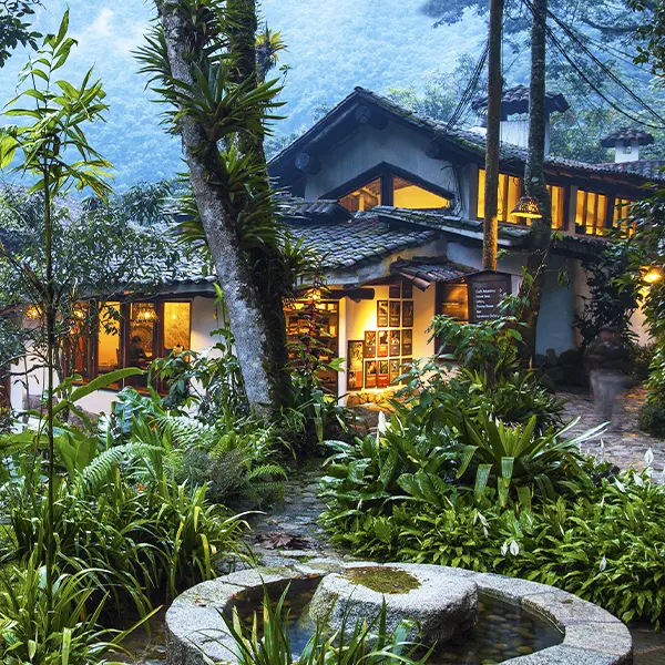
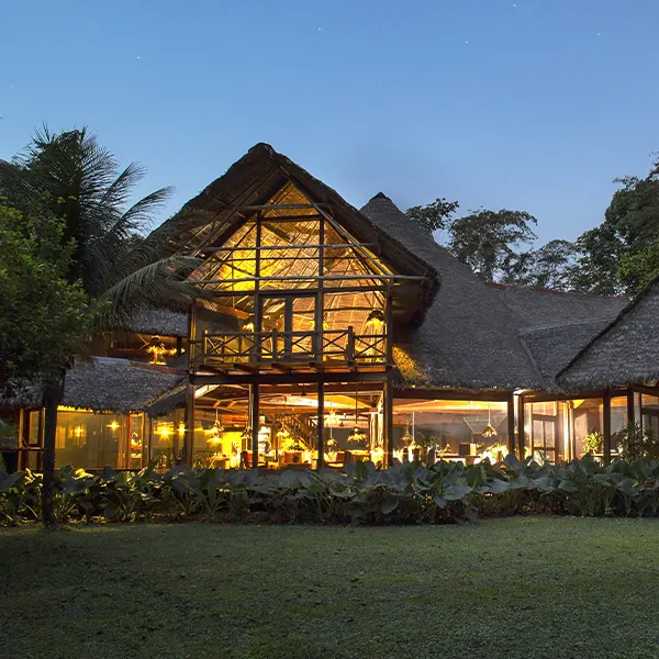
Nature, jungle, and Inca mystery will surround you at the foot of the imposing Machu Picchu mountain. Spend nights under The starry night of the Peruvian jungle will be priceless.
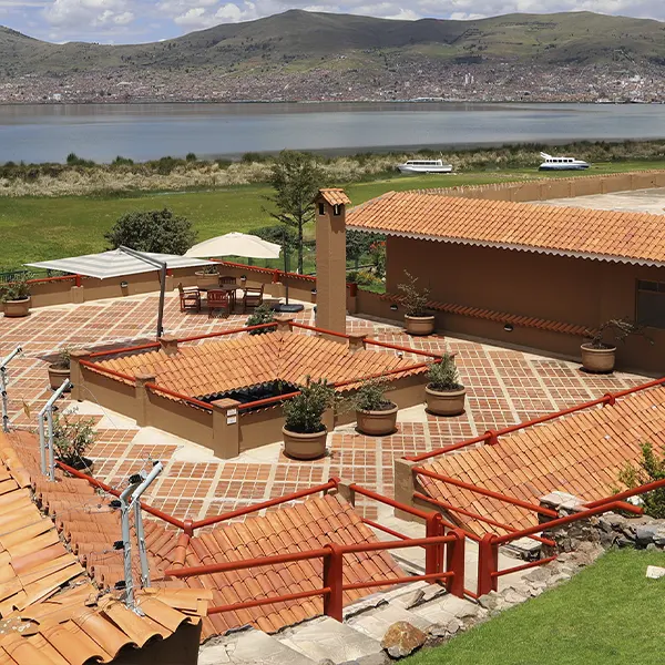
Spend wonderful stays at 12 506 feet, close to the stars and the highest navigable freshwater lake in the world, Lake Titicaca. By discovering mystic islands and charming people.
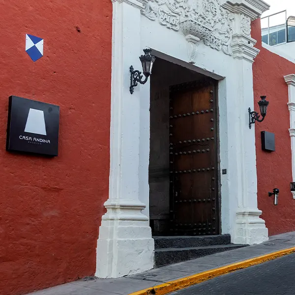
A city of white stones located at a volcano foot, with its European-style historic center, nestled in the Andes, and rich history will host you through its enchanting lodgings.
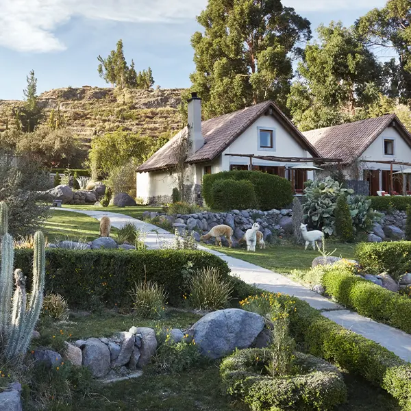
One of the world's deepest canyons, with its lovely Andean towns, imposing condors, and kind native people offers unforgettable experiences in lodges, hotels, and even tours.
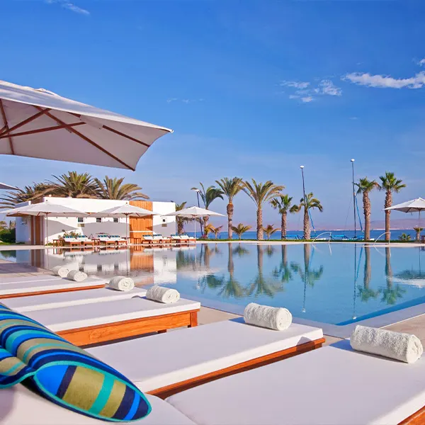
Sea lions, seals, pelicans, and even penguins resting over rock islets will be waiting for you close to paradise beaches, water sports, and the best tourist installations.
The Manu National Park, and the National Reserve of Tambopata, with their awesome wildlife, and paradise forests will welcome you to tropical lodges exo-sustainable.